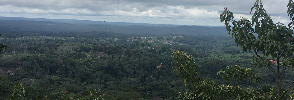
Mayoko Iron Ore
The Mayoko iron ore project lies on the Precambrian Congo Craton of West Africa and covers 1,000km2. The area is characterised by meta-sedimentary rocks, which are more than 2,540 million years old. The rocks are highly metamorphosed almost up to granulite facies. The total indicated iron ore resources are estimated at 177 million tons, whereas inferred resources are estimated at 577 million tons graded at 36% Fe. The Mayoko project is easily accessible with sufficient railways, roads, water supply and ports in close proximity. The project is located within a distance of 2.2km from Pointe Noire rail line, which links to the coast of Pointe Noire.

Mayoko Information
LOCATION
Republic of Congo
RESERVES
795Mt graded at 36% Fe
GEOLOGY TYPE
Precambrian Congo Craton

Mayoko
Project Geology
The Mayoko iron ore project lies on the Precambrian Congo Craton of West Africa and covers 1,000km2 .
The area is characterised by meta-sedimentary rocks, which are more than 2,540 million years old. The rocks are highly metamorphosed almost up to granulite facies.
Iron is hosted within highly weathered iron-rich metamorphic rocks referred to as ‘Chapeau de Fer’ or hats of iron. Part of the deposit is covered by a high grade haematite-contained ferruginous crust. The crust overlays a weathered and disintegrated ferruginous quartzite zone, which consists of haematite and low-grade magnetite.
Ferruginous formations in Mayoko also include fresh ferruginous quartzites and colluvia. Colluvia are accumulated material found at the base of the slope, which results from the breaking up ferruginous quartzites.

Mayoko
Mine Reserves
Reserves in the Mayoko mine are found along a strike length of 1,800m and a vertical extent of 170m. As of March 2014, the total indicated iron ore resources are estimated at 177Mt, whereas inferred resources are estimated at 577Mt graded at 36% Fe.

Mineralisation
Mineralisation occurs in two geological prospects at Mt Lekoumou-Mt Mipoundi and Mt Lekoumou South. The Mt Lekoumou-Mt Mipoundi trend is defined over a strike length of 7km. At this zone, iron mineralisation occurs as open towards the north-east extent of the strike. Along the entire length of the strike, mineralisation takes place as open at depth. The Mt Lekoumou zone is found along a strike length of 1.5km, which is between 20m and 50m deep. Mineral resources in this zone consist of high-grade cap, detrital and high-quality itabirite ores.

Mayoko Mine Exploration
"An airborne geophysical survey revealed drill targets covering 0.7 to one billion tons of iron ore."
The exploration of the project zone included trenching and a geophysical survey. Along the Mt Mipoundi zone, 18 trenches for a linear advance of more than 690m have been completed. Results revealed evidences of in-situ and detrital iron mineralisation along this zone.
Recent trending and shallow diamond drilling conducted in the past for up to 38 holes also revealed the occurrence of supergene haematite mineralisation graded at 50% to 65% Fe at depths between 10m and 40m from the surface.
A high-resolution airborne geophysical survey was completed in July 2009. Conducted across a 220km² area in the central region of the Mayoko project area, the survey revealed six drill targets covering 0.7t to one billion tons of iron ore.
A similar survey conducted on the remaining 780km² in 2010 increased the exploration target to 1.6-2.6 billion tonnes of ore graded at 30%-65% Fe. Between 320Mt and 520Mt of target ore graded from 40% and 65% of Fe corresponds to potential and beneficial DSO.
A 30,000m oxide resource definition drilling programme was started in February 2011 at Mt Lekoumou and Mt Mipoundi to increase the volume of the existing haematite, DSO, beneficiable DSO and inferred resource.
Results of the first batch drill confirmed the DSO grade of 50%-60% Fe and beneficial DSO at 40%-45%.
Mayoko Diamond Drilling Programme
A diamond drill programme to measure the characteristics of ores found during exploration, including sizes and grades, was conducted at the site.
Stage I of the drilling programme, which was completed in April 2010, included 18 drills along the 7km strike of the Mt Lekoumou-Mipoundi zones. The holes were drilled at 1.5km-spaced traverses at depths between 200m and 400m. Stage I confirmed the existing resource and demonstrated banded iron formation (BIF) in lenses between 50m and 200m thick over a strike length of 7km. The programme was concluded with the drilling of 20 diamond and 27 reverse circulation holes by 2011.


